

The Rödchen
Rödchen, Martinsthal, Rheingauer Gebück, landscape evolution

In the field-of-view of the stele you can see the vineyard Wildsau, the Walluf Valley in the middle and to the right, the Martinsthaler Berg. The transition from the Mainz Basin to the South Taunus Fault is visible in the relief of the landscape. The lower, more level areas end abruptly at the steep rise towards the Taunus Mountains.
The Rödchen
This land was cultivated in 1115 and was once part of the lost village of Rode and the monastery of the same name. Rode was abandoned in the 14th century, but a church of pilgrimage stood here until 1804. The present chapel was built from the stones of this church. Quite naturally, the vineyard is called Rödchen.
On April 8, 1363 the Archbishop of Mainz Gerlach von Nassau proposed to resettle Rode behind the fortified boundary wall called the Rheingauer Gebück and to build a wall and ditch around the new settlement called Martinsthal.
Rode accepted the proposal and the new village was colloquially called Neudorf (New Village) until 1935 when the citizens officially chose to use the original name, Martinsthal.
The Rheingauer Gebück
was a fortified boundary, which surrounded the Rheingau for over 600 years. The people of the Rheingau aspired towards freedom, independence and democracy. Nobility and citizens joined to form the Rheingau Union and organised a military defence. The Rhine formed the safe boundary in the south. By the 12th century a live Green Wall had been planted to protect the east boundary: the Rheingauer Gebück. This consisted of hornbeam poles that were bent into arches and woven together to create a impenetrable 100 m wide living hedge. Fortified gates provided access to the Rheingau, The Green Wall began in Niederwalluf, continued to Neudorf and on into the Taunus Mountains and ended near Lorch am Rhein.
The green wall was cleared in 1771.
landscape near Martinsthal
The landscape near Martinsthal is characterised by its geology along the boundary between the Mainz Basin and the Taunus Mountains. The basin is filled with loose sediments (gravel, sand, clay). The steeper slopes are made of Phyllite, a hard metamorphic rock. When the sea receded, freshwater sediments were deposited by rivers and in lakes (Freshwater beds).
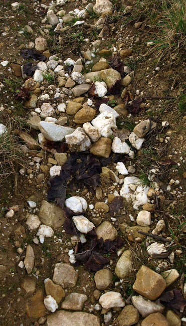
In the east of the Walluf, these sediments consist of yellow and white clay and, in parts, coarse quartz gravel. Wine is grown on the more level parts of the vineyards Rödchen and Wildsau.
Vineyard sites
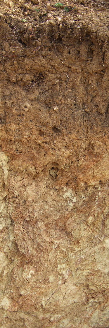
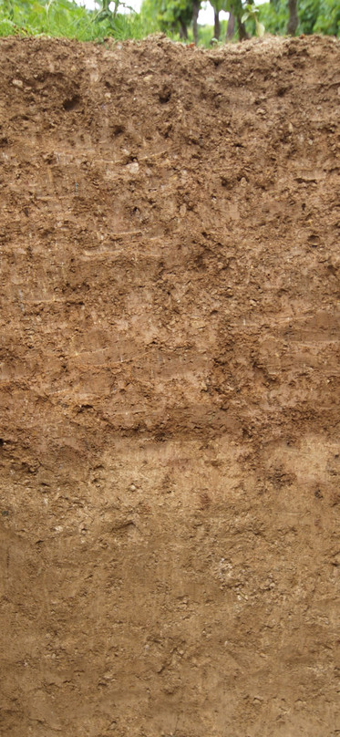
The soils at the lower elevations have developed on medium thick to thick layers of weathered loess. Further up the slopes the soils are composed of weathered phyllite. In German, the vineyard name Wildsau (31 ha) means that this was the place where game came out of the forest to forage.
The wines are characterised by a singular fruitiness and a restrained mineral acidity. The wines of the Langenberg (17 ha) are full-bodied with a fruity to spicy character and a mineral acidity.
The deep weathered loess soils of the Rödchen (26 ha) also contain tertiary clays, sand and quartz gravel. The wines from this vineyard are powerful and full-bodied with an edgy to mineral accent. The name of the vineyard Nonnenberg (Nuns Hill, 5 ha) recalls the nuns from Tiefenthal Monastery. The deep, stony soils are composed of phyllite debris produce wines that are full-bodied with a racy to edgy acidity.